Monitoring of Geodynamic and Geophysical processes
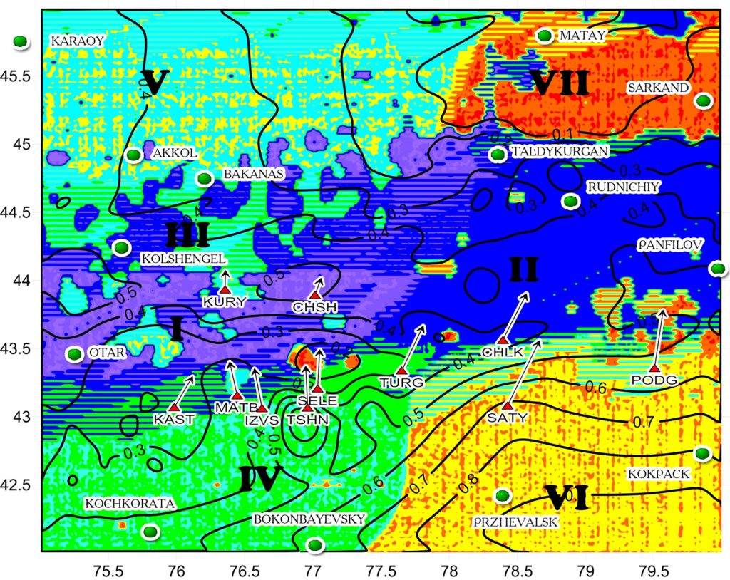
The development of a system of space- and ground-based geodynamical and geophysical monitoring of Earth’s crust on the territory of Kazakhstan and detection of mineral deposits
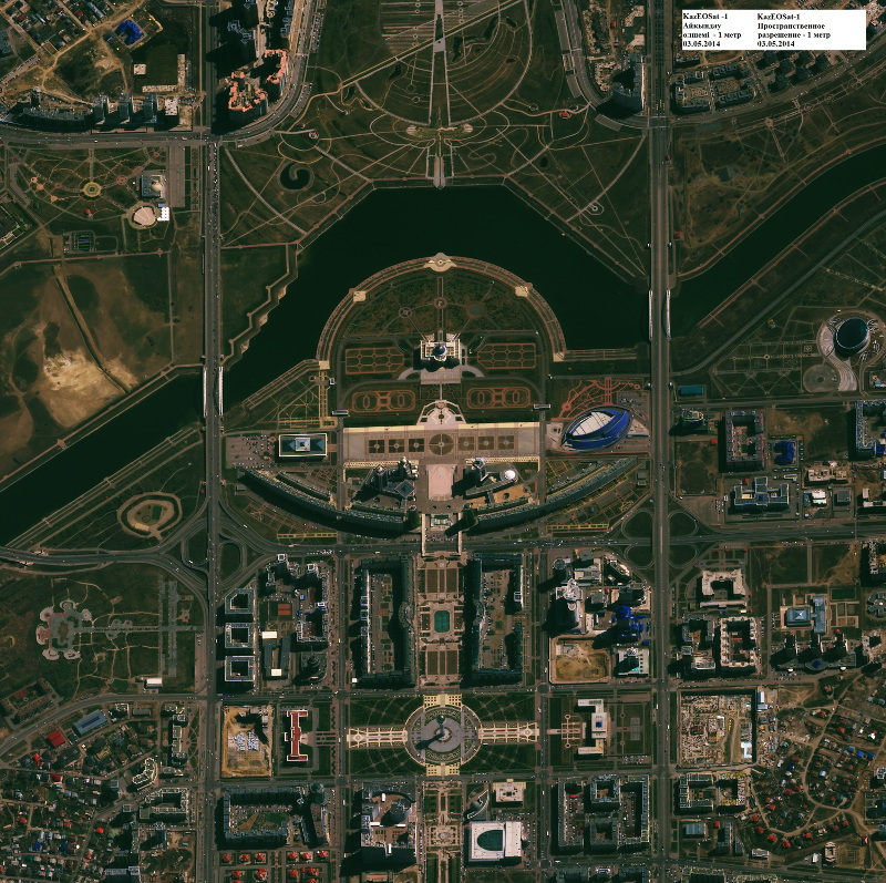
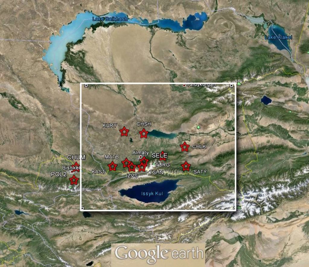
- Development of a system of ground and space monitoring and geodynamic safety in the earthquake-prone regions, within urban areas, at the mineral deposits and at the strategically important facilities.
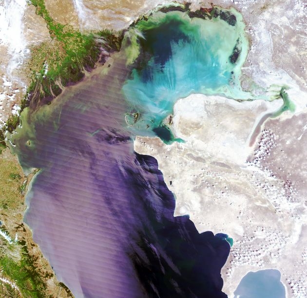
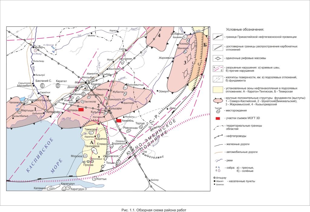
- Development of an integrated forecast system for technogenic disasters associated with the changes in strain-stress state of the geological environment in the areas with intensive extraction of mineral resources in the North Caspian region.
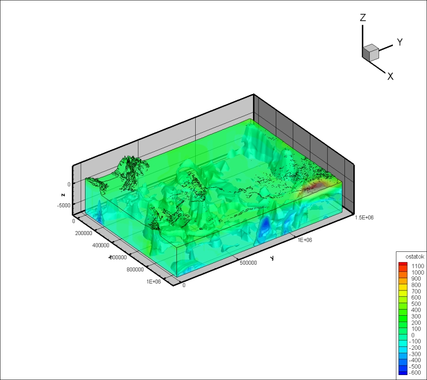
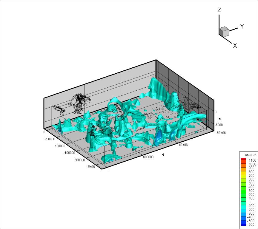
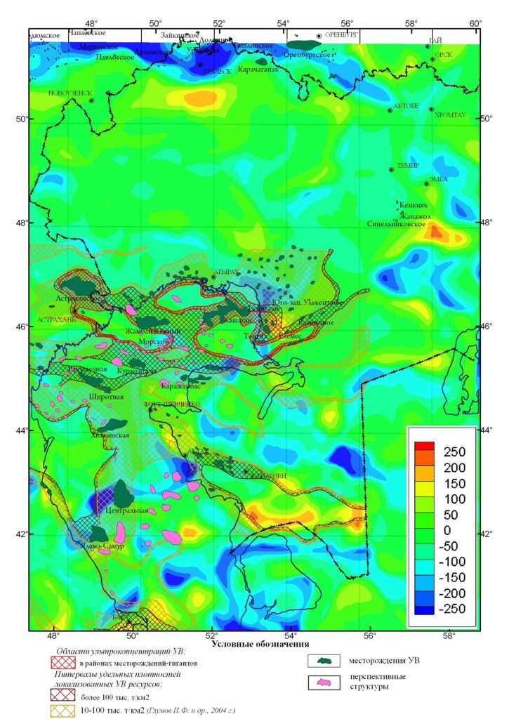
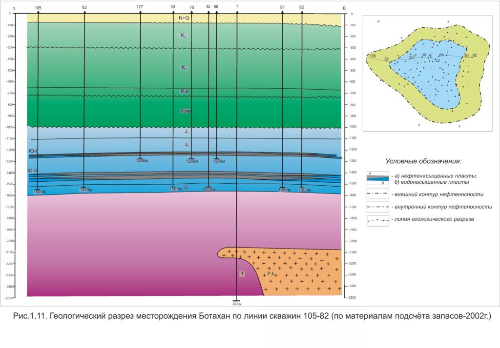
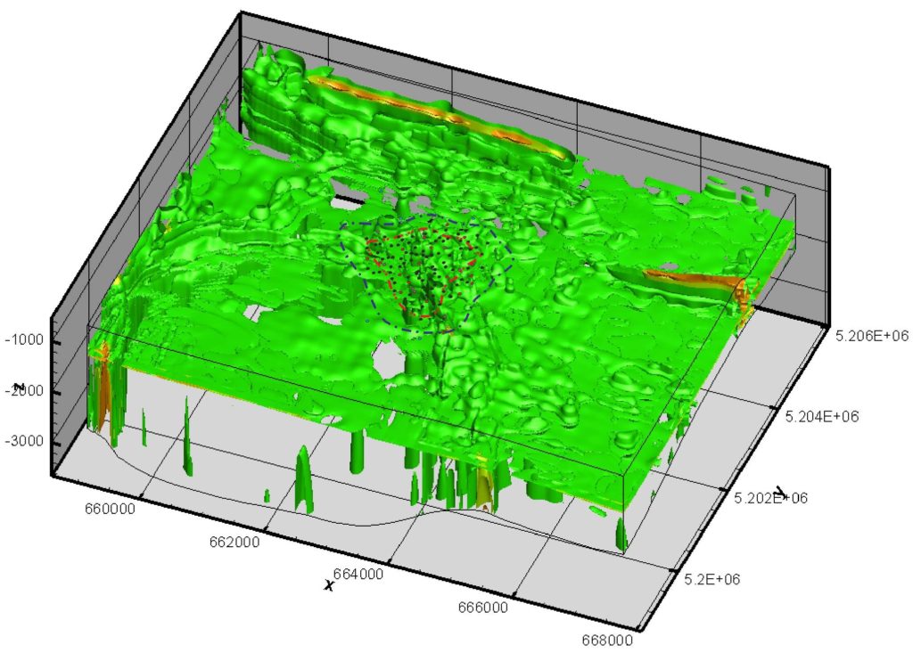
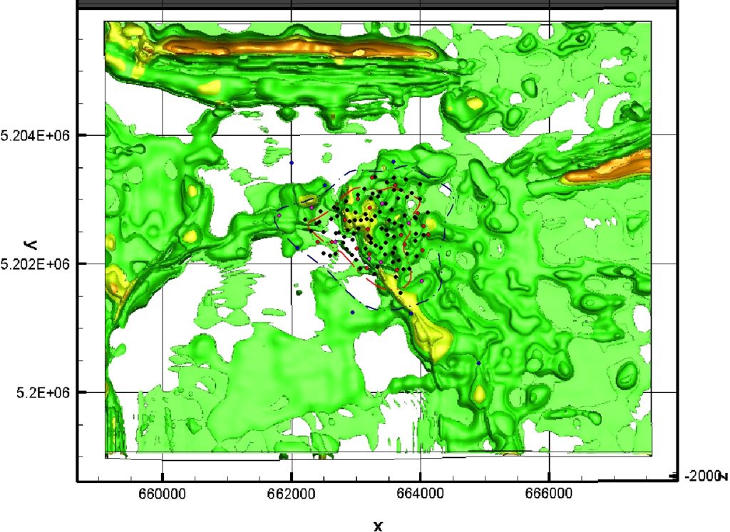
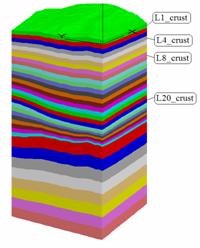
- Search for potential mineral bearing areas and the development of 3D models of geological environments with hydrocarbon reservoirs using complex space and ground based data
- Development of specialized maps with reliable assessments and forecasts regarding the states of natural-economic systems, industrial agglomerations, and urbanized terrains using data from geodesy satellites and other geophysical methods
