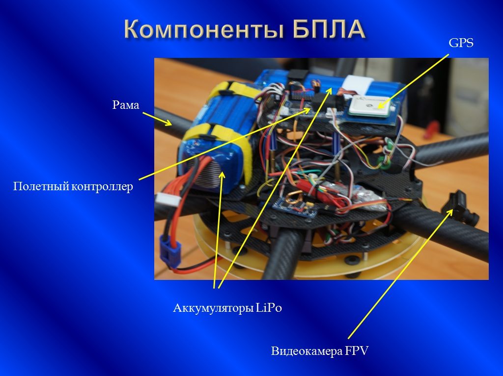
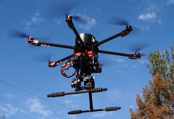
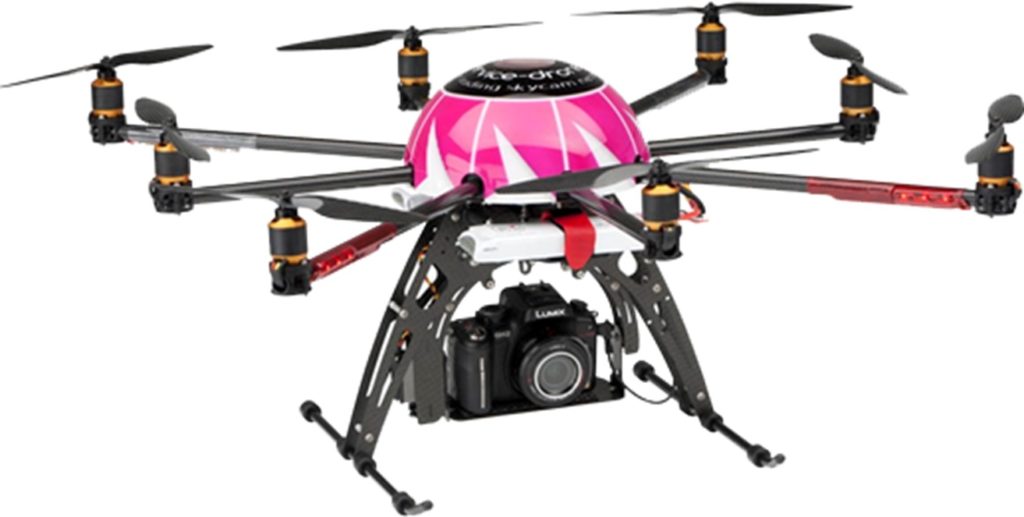
Aerial monitoring (UAV)
Development of Aero-monitoring technologies using unmanned aerial vehicles
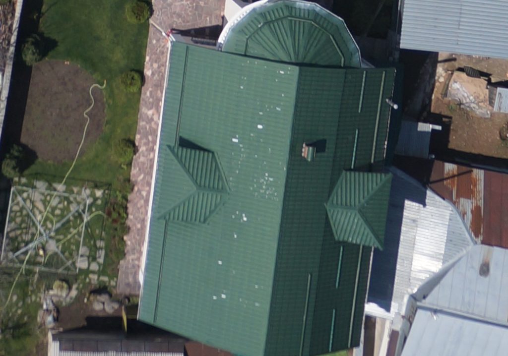
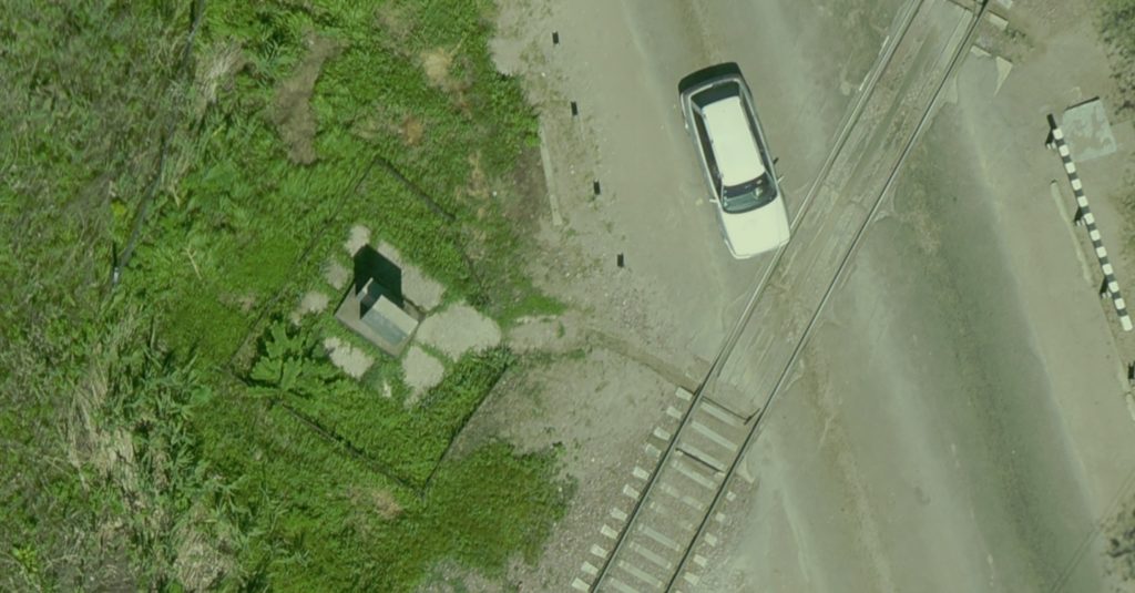
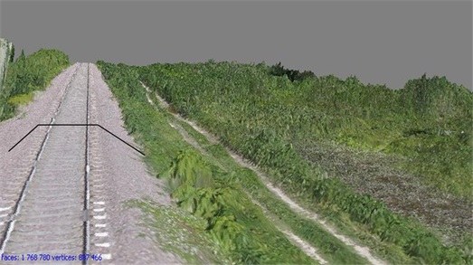
- Aerial photography using high-resolution cameras: LiDAR and multi-spectral camera.
- Thematical processing of remote sensing data using methods and technologies based on the geographical information modeling.
- Creation of digital terrain models, 3D Images
- Creation of operational maps
- Study of the dynamics of natural and anthropogenic objects and phenomena
- Ecological and geographical assessment of territories interpretation of inventory for land